Trump reveals these 2 new tariffs on “Liberation Day,” April 2
On April 2, President Trump unveiled a universal import duty of 10% on all products, as well as reciprocal tariffs on imports from 60 nations.
statewide California news








On April 2, President Trump unveiled a universal import duty of 10% on all products, as well as reciprocal tariffs on imports from 60 nations.
President Trump announced new reciprocal tariffs on Wednesday, which he dubbed “Liberation Day.”
President Trump on Wednesday announced a baseline tariff of 10% on all countries, with additional reciprocal tariffs for some. Maurice DuBois anchored CBS News’ special report.
Michigan auto industry braces for Trump’s 25% tariffs on imported car and auto parts; Trump announces 10% tariff on all countries and additional specific reciprocal tariffs on “worst offenders”
President Trump announced the U.S. will impose a minimum baseline of 10% tariffs on goods imported from all foreign countries, along with further “reciprocal tariffs.”
President Trump is announcing the details of his reciprocal tariffs plan after 4 p.m. at the White House.
Senate Republicans unveiled a budget resolution as the GOP seeks to move forward with the budget plan that will enable them to implement President Trump’s agenda later this week.
Here are the takeaways from a liberal’s victory in Wisconsin and GOP wins in Florida races to succeed Mike Waltz and Matt Gaetz in Tuesday’s elections.
A 9-year-old girl in California died after a dental surgery during which she was under anesthesia, according to the medical examiner.
The best debt relief companies are accredited by recognized associations and have strong customer service records.
Amazon has expressed interest in buying TikTok ahead of deadline for ByteDance to sell the social media app or face a U.S. ban.
President Trump set to unveil expansive global tariffs from White House Rose Garden; Real ID deadline approaches as millions of Americans still lack key identification card.
President Trump has previously described the “External Revenue Service” as an arm of government “to collect tariffs, duties, and all revenue that come from foreign sources.”
Global trade tensions rise as President Trump plans to unveil sweeping new tariffs; Wife of Maryland man mistakenly deported pushes back on White House claims her husband is a criminal.
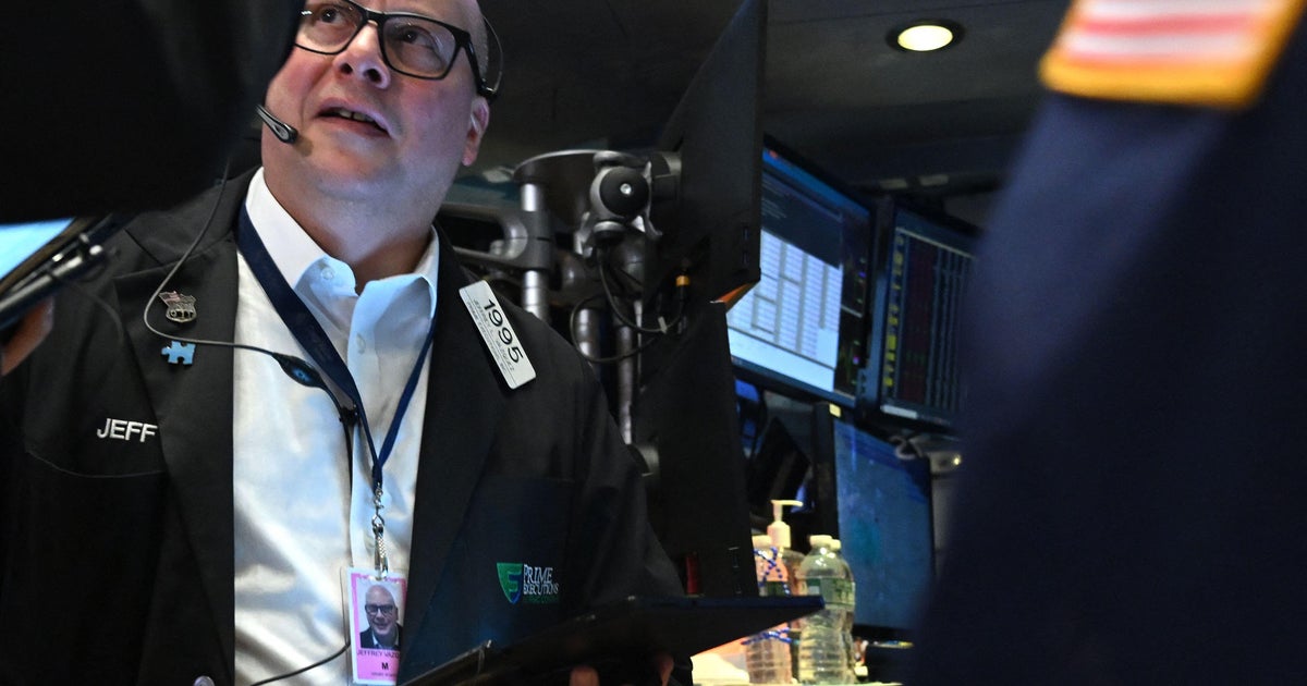
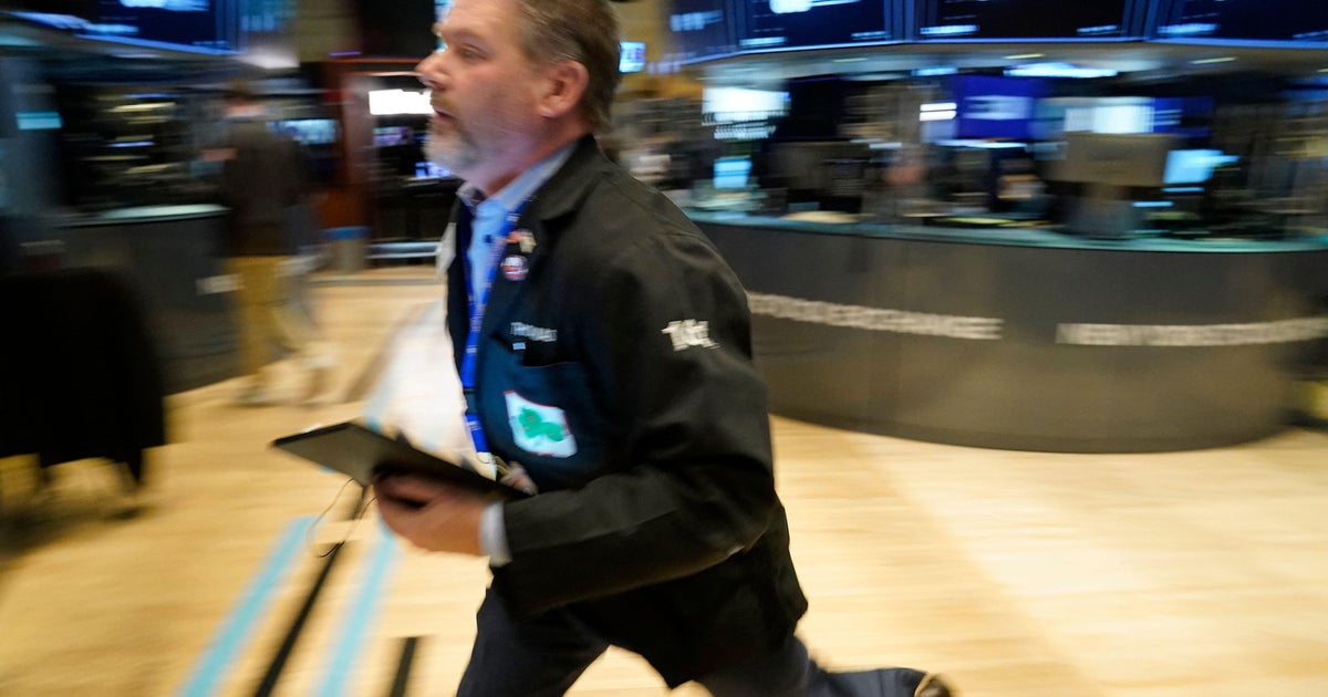
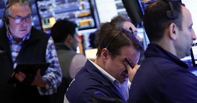
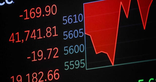
Jittery investors await Trump administration’s latest salvo of tariffs on key U.S. trading partners.
President Trump holds his first cabinet meeting today; The first black woman to graduate from UPenn’s medical school reflects on legacy.
President Trump says employees who did not answer DOGE email are “on the bubble”; California’s urban forests provide sustainable solution for guitar maker.
President Trump set to announce sweeping new tariffs; Report warns rising sea levels will impact millions by 2050.
U.S. health officials said 224 passengers and 17 crew on board the Cunard cruise ship Queen Mary 2 caught norovirus during a voyage that’s still ongoing.
Tesla is seeing softer demand for its electric vehicles amid protests over Elon Musk’s government role at DOGE.
Republican Randy Fine won the House seat formerly held by Mike Waltz, while Republican Jimmy Patronis won the house seat vacated by Matt Gaetz.